
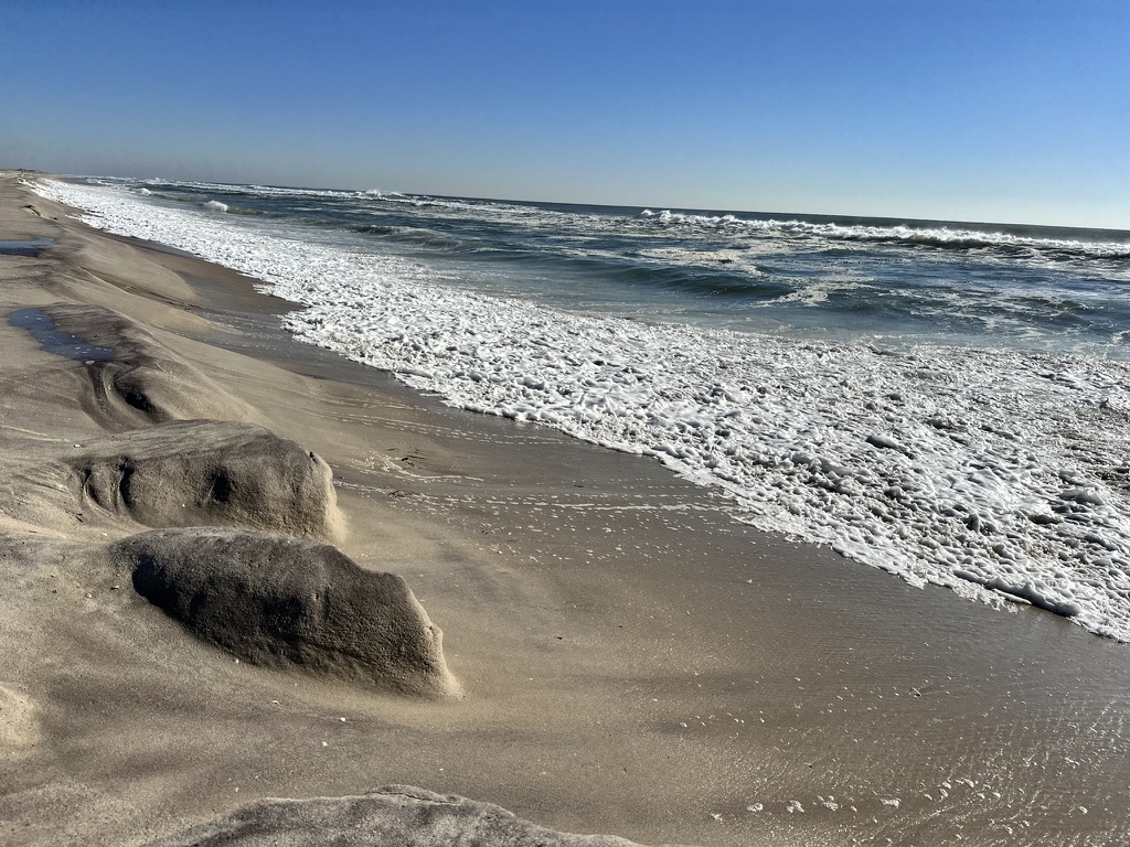
Fire Island residents implemented self-taxation to afford building up its sand dunes to keep its eroding shoreline in check.
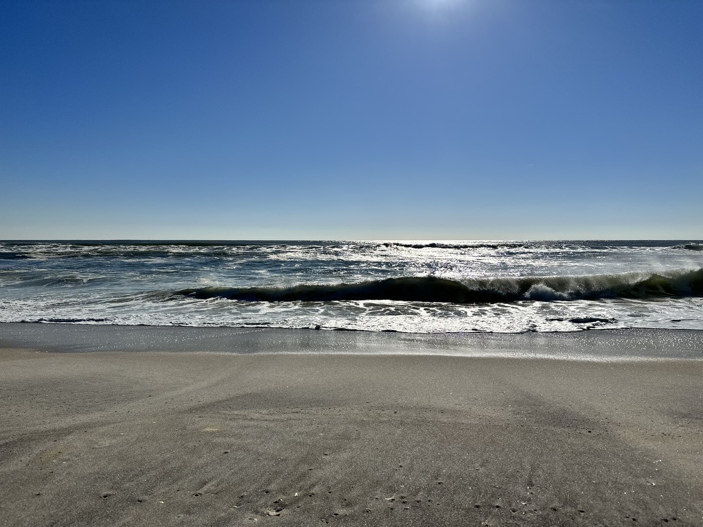
Fire Island is a beautiful, narrow-barrier island off New York’s coast. It stretches 32 miles from west to east along the south shore of Long Island, acting as a natural shield against the powerful forces of the Atlantic Ocean. The island is a protective barrier, absorbing the impact of storms and safeguarding the mainland from the ocean’s relentless power.
The barrier Island has been grappling with coastal erosion for a long time, causing intense flooding and infrastructure problems for full-time residents and seasonal visitors. The instability became more severe after Superstorm Sandy in 2012, which demonstrated the damaging impact of losing protective shorelines for both residents living on the barrier island and the mainland on Long Island.

Fire Island has experienced a significant increase in erosion caused by catastrophic storms. Despite this challenge, the island’s residents have formed erosion control districts and worked collaboratively with local, state and federal governments to implement inclusive sand restoration projects.
Federal dollars, local sand
Following the destruction caused by Sandy, the US government financed a multi-year $1.7 billion project to manage the south shore of Long Island, which spans approximately 83 miles from Fire Island to Montauk Point. This significant investment aimed to streamline efforts to fortify these coastal areas against future storms and natural disasters.
Spearheaded by the US Army Corps of Engineers and the Fire Island Inlet to Montauk Point (FIMP) project. This project is an endeavor that signifies a proactive strategy to mitigate flood risks and help support resilience in the face of severe storms.
FIMP has incorporated a variety of actions to minimize the dangers of coastal flooding. These actions include raising structures, modifying buildings, establishing a plan to respond to breaches, filling beaches and dunes, and utilizing strategies that can adapt to changing circumstances.
Over 320,000 cubic yards of sand are collected through hydraulic dredging activities near Fire Island.
This means the amount of sand being dredged would cover approximately 60 football fields, each filled to a height of 1 yard with sand.
Sand is primarily extracted from Shinnecock and Moriches inlets. This accumulated sand is then intentionally dispersed along both updraft and downdrift beaches to strengthen and protect Fire Island’s coastline.
Regular sand replenishment is necessary for dune and berm projects about every five years within a 30-year period after construction. After this initial phase, a proactive breach response plan will remain active for up to 50 years as part of continued maintenance and preparedness efforts.
Suzy Goldhirsch, president of the Fire Island Association, has been working for decades to help improve residents’ quality of life.
“Of the 17 communities on Fire Island, all except one have erosion control districts. And in that one community, Cherry Grove, they are currently forming an erosion control district. And I was instrumental in starting the erosion control districts in the hamlet of Seaview,” Goldhirsch said.
FIMP was first proposed in 1960 after a devastating 1938 hurricane that killed 45 people and destroyed 265 homes. However, it wasn’t until 2020 that FIMP was fully funded and authorized.
Funding their own sand
Residents have implemented a new strategy to respond to the deterioration of the shoreline on Fire Island. The residents have requested permission from the town authorities to impose taxes on themselves, which will be utilized to fund the necessary repairs.
Patricia Meade has been a Fire Island resident since 2005 and said it has been challenging living on the barrier island.
When asked about residents of Fire Island self-imposing a tax, she agreed with her community’s decision in hopes of preventing a mass migration back to the mainland.
If it doesn’t happen, eventually everybody will have to move.
— Patricia Meade
Residents’ willingness to be taxed for beach restoration projects reflects their understanding of the importance of collective investment in protecting against erosion and storm damage, Goldhirsch said.
With the effects of climate change and rising sea levels, she said it is crucial to find sustainable solutions to protect coastlines and the environment.
Rapidly deteriorating climate and rising sea levels have caused the average sea levels on Fire Island to increase by 0.13th of an inch per year. This has resulted in more frequent high tides, causing a significant threat to Fire Island communities and low-lying areas on Long Island.
Sara L. Ziegler is a landscape ecology geographer and researcher at the U.S. Geological Survey. Her work involves modeling the impact of sea-level rise and storms on coastal species.
“But as sea level rises, you have two things: water covering what had previously been above water, what’s now underwater. Then, when you have storms, moving more water in waves onto the shoreline will take more sediment away. The floodwaters are going to reach deeper inland, and that’s going to pull sediments out. So that’s what’s happening when you have more water involved,” Ziegler said.
For decades, Nonda Volte has lived on Fire Island, grew up in Fair Harbor, and now resides in Ocean Beach, where she has witnessed the ever-changing environment around her.
Volte said her experience with past hurricanes has also changed. “I had five feet of water here. The water did come in a little bit. This is an old house. It was built in 1901. It survived the 1938 hurricane. But I had some damage. Luckily, I have flood insurance.”
But when Superstorm Sandy ripped through Fire Island:
“Because of the scale of the destruction, we really couldn’t afford to do it ourselves. So we became a managed beach, at least here — Ocean Beach — so that we now can do it at a local level.”
The rebuilding has continued in the decade since the storm.
“In Ocean Beach, they’re doing a huge [repair on the] drainage system because that town floods whenever there’s a high tide.”
In a statement, Corps Commander Matthew Luzzatto said the FIMP project:
“Their efforts will ensure the safety and well-being of the residents of the surrounding communities as we continue to strengthen our coastlines and make them more resilient against future coastal storms.”
Global Innovations in Protecting Seashore
However, exploring how other beaches worldwide address this same problem can be used to help protect Fire Island. Understanding how other beaches are dealing with this issue can provide valuable insight into the best practices that can be implemented to combat shoreline erosion.
Coastal communities worldwide face similar challenges, but each area has unique characteristics that require diverse approaches. By learning from each other’s experiences and adopting innovative strategies, these communities pave the way for a more resilient future.
The Florida Keys are also dealing with erosion issues through a "Living Shorelines" initiative. Florida Living Shorelines project uses natural elements, such as oyster reefs and mangroves, to absorb wave energy, which helps reduce erosion and protect the coastlines. Helping communities make better and more informative decisions towards costal protection.
This eco-friendly approach not only strengthens the coastline but also promotes biodiversity.
Native grasses, shrubs, and trees are essential for stabilizing shorelines. Their extensive root systems help to stabilize the soil, reduce erosion, and absorb wave energy. This strengthens the shoreline against erosion and creates a favorable environment for diverse wildlife. These plants offer shelter, nesting sites, and food for various animals, from birds and insects to small mammals.
Living shorelines incorporating elements like oyster reefs or other submerged structures act as natural breakwaters, dissipating wave energy and helping trap sediment. This encourages the formation of habitats for marine life, which enhances biodiversity. For instance, oyster reefs protect the shoreline and provide vital habitats for various aquatic species.
Additionally, living shorelines minimize the disruption of the natural environment that often accompanies the construction of hardened structures like seawalls by using natural materials and processes. This approach promotes ecosystem resilience to environmental challenges like rising sea levels or storms.
The Netherlands recognizes the importance of investing in water infrastructure to improve its resilience against flooding.
Measures such as reinforcing dikes, constructing flood barriers like the iconic Eastern Scheldt Storm Surge Barrier, and creating water storage areas like reservoirs or basins are fundamental.
The surge barrier is a feat of engineering designed to protect the low-lying areas of the Dutch province of Zeeland from the threat of storm surges and flooding. Completed in 1986, it is one of the world's most significant and sophisticated storm surge barriers.
This immense structure is part of the larger Delta Works project, a series of dams, sluices, locks, and barriers constructed after the devastating North Sea flood 1953.
The Scheldt Barrier was specifically designed to control the tidal flow of the Eastern Scheldt River while maintaining its ecological value.
What makes this barrier unique is its semi-open nature. Unlike traditional barriers that seal entirely off a river, the Eastern Scheldt Barrier consists of a series of movable gates that remain open under normal conditions. This allows the natural flow of tides and preserves the ecosystem within the river.
The gates can be closed during exceptionally high tides or impending storm surges. This effectively blocks the river's entrance, protecting the surrounding land from the force of the sea. The barrier comprises 62 steel gates, each roughly 127 feet wide and 19 to 29 feet high. When closed, these gates form a continuous barrier across the river, capable of withstanding the impact of powerful storms.
This innovative approach allows for preserving the Eastern Scheldt's unique ecosystem while providing crucial protection against flooding. The Netherlands' commitment to sustainable flood protection is demonstrated by the barrier, which represents a balance between human engineering and the natural environment in the face of rising sea levels and increasing storm threats.
These efforts significantly reduce the risk of flooding during high tides or storm surges, safeguarding the city and its surroundings from the impacts of extreme weather events.
Coastal communities around the world are redefining their approach to coastal management by combining local expertise, scientific knowledge, and community engagement to protect their shores.


Emilio • Jan 16, 2024 at 12:30 pm
Waoo Excellent reports
The information is very educational
Thanks you for the information